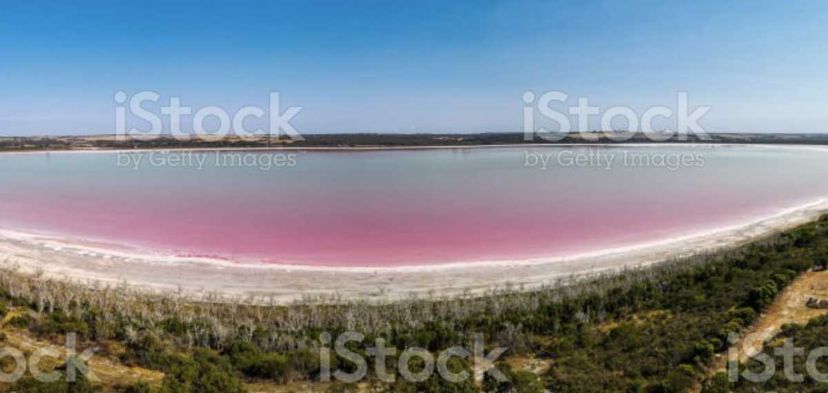
There are certain key datasets that are required to understand all groundwater systems. These include hydraulic conductivity, transmissivity and storage coefficients, hydraulic head distributions (including head gradients between aquifer layers, groundwater flow directions and velocities, rates and locations of recharge and discharge, and baseline salinity and water chemistry. Yet some of these characteristics can be difficult to quantify, particularly in areas of complex geology where rocks are folded and faulted rocks and flow can predominantly occur through fractures, or where wells are uncased or have long intake zones.
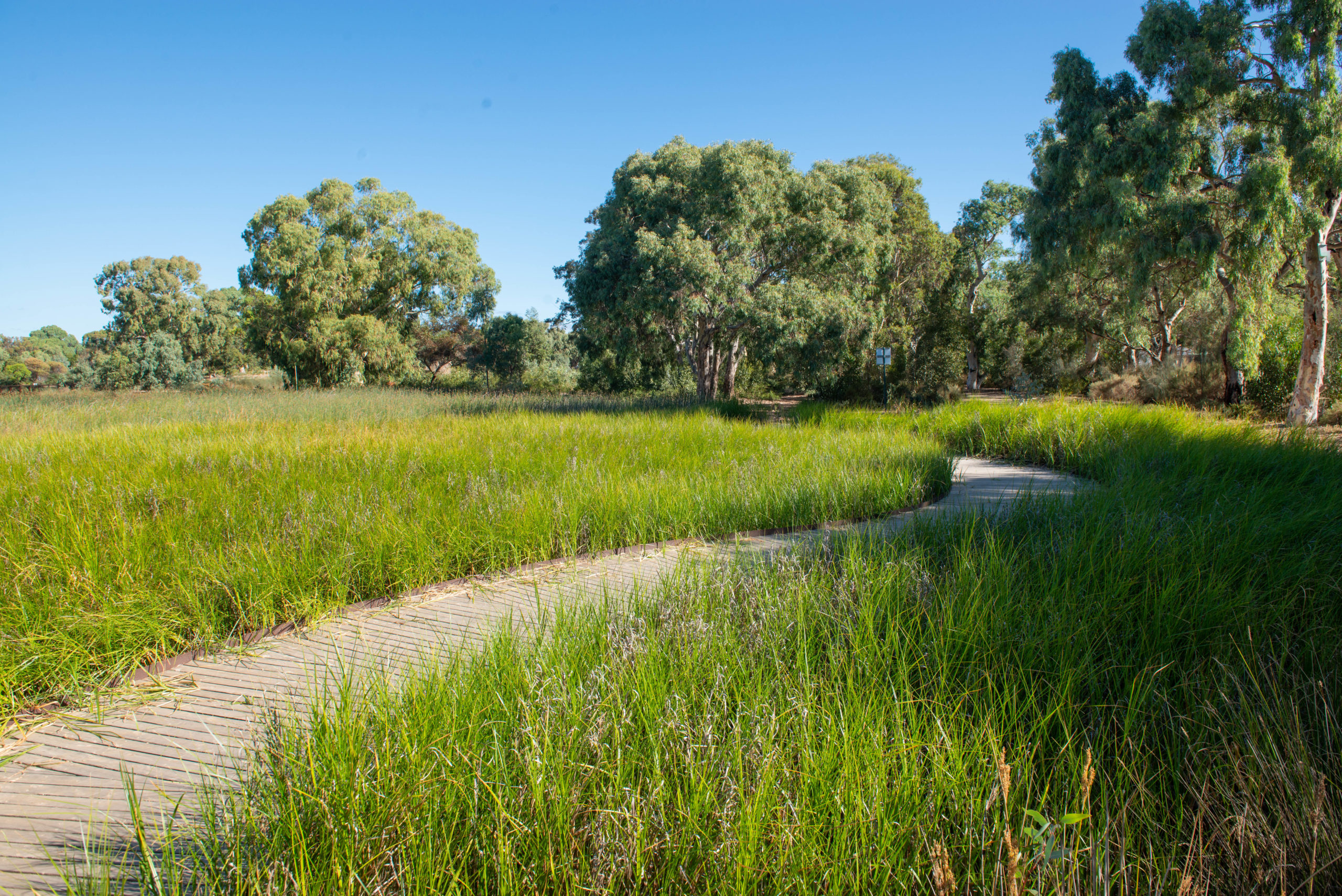
NCGRT researchers have worked on groundwater characterisation projects in most Australian States and Territories, in environments from the wet topics to the arid zone. As well as studies in the large sedimentary aquifers of the Great Artesian Basin and the Murray Basin, we have worked on highly complex groundwater systems associated with fractured and folded hard rocks. This has included major projects to understand the influence of faults and dykes on groundwater flow in both urban and mining environments.
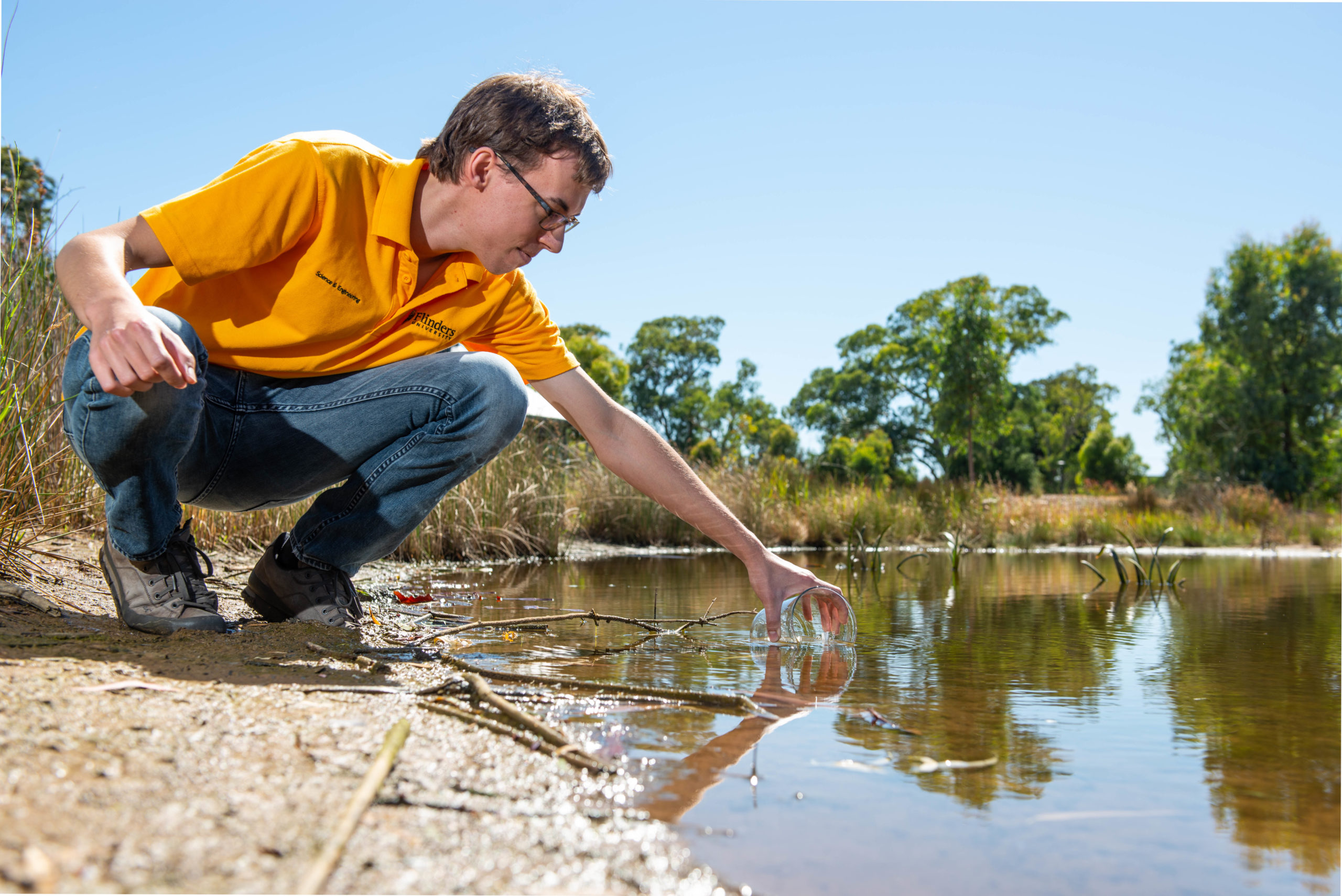
NCGRT researchers have expertise in most areas of aquifer characterisation, including the use of environmental tracers to identify sources of groundwater recharge and quantify flow rates; artificial tracers for identifying preferential flowpaths in heterogeneous or fractured geological environments; and surface and downhole geophysics for understanding heterogeneity and mapping flow zones.